- Project Overview
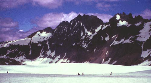
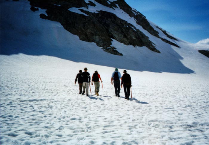
- Photos and Maps
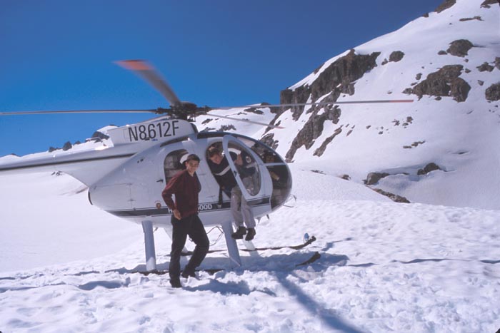
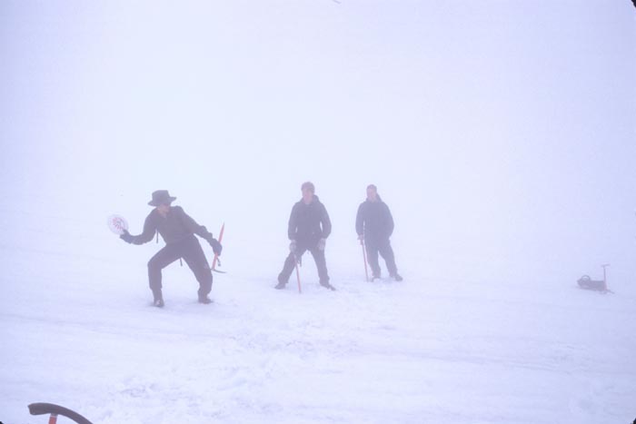
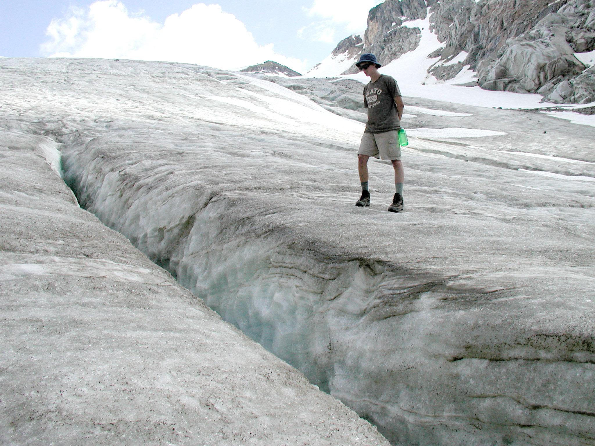
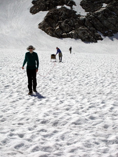
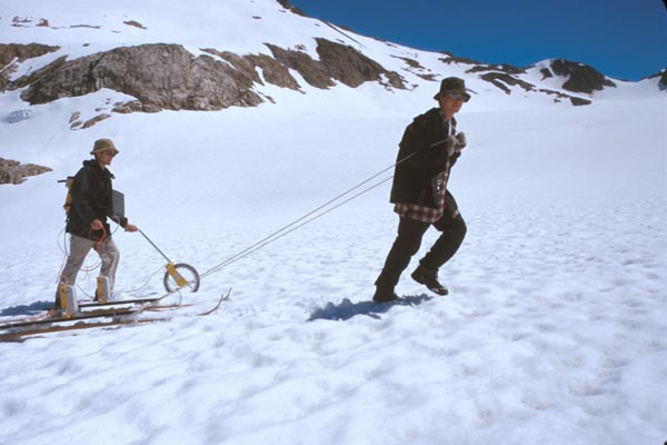
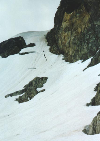
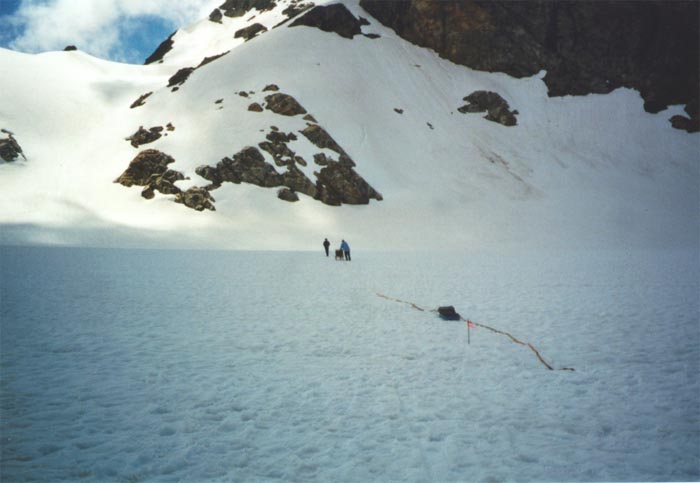
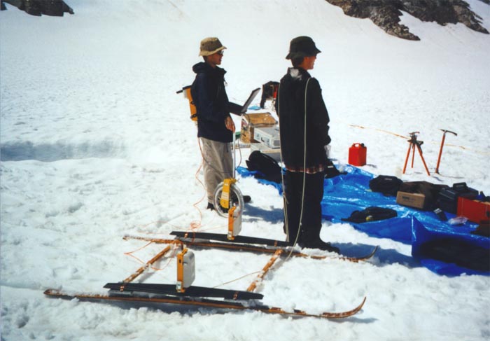
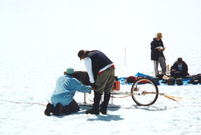
Towing the radar across South Cascade Glacier
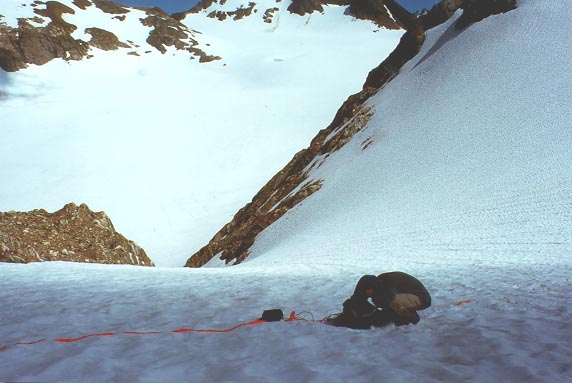
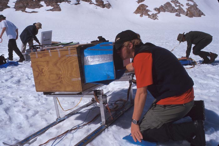
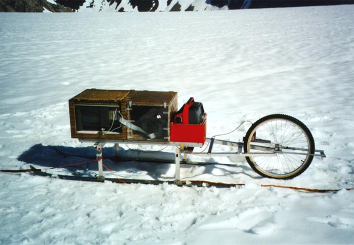
Our work on South Cascade Glacier is focused in three areas: studies of the subglacial hydrology, ice thickness and bedrock mapping, and radar system development for temperate glacier and Antarctic research. During the field seasons '96-'99 we developed two new radar systems: a lighweight transmitter and receiver unit which can be deployed in steep and heavily-crevassed terrain where sled-based systems cannot operate, and a faster profiling radar based on a newly available 100 MHZ digitizing board which resides on the PCI bus of a ruggedized computer.
The lightweight system was used on South Cascade Glacier in the summer of 1998 to determine ice volumes flowing into the main glacier from a steep hanging-glacier tributary . It was also used recently to determine ice volumes and bedrock topography of Brewster Glacier in the Southern Alps of New Zealand . Brewster Glacier is a Southern Hemisphere cousin to South Cascade Glacier, lying at nearly the same latitude and elevation, and having a similar ice volume, thickness and climatic regime.
During the summer of 1999 we completed field tests of our new profiling radar which uses a
12-bit digitizer and can stack (average) up to 500 radar echo waveforms
each second. The ability to stack radar echoes very rapidly increases
the signal to noise ratio, and enables us to resolve very faint internal
echoes within the ice. The radar
was used on the ITASE traverse in Antarctica.
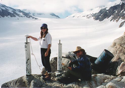
We also have GPS surveying capability with a C/A code base station and roving unit to give absolute elevations and positions along our radar profiles to sub-meter precision.
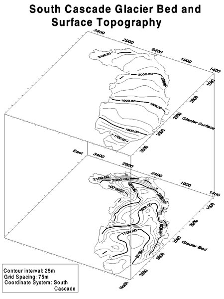
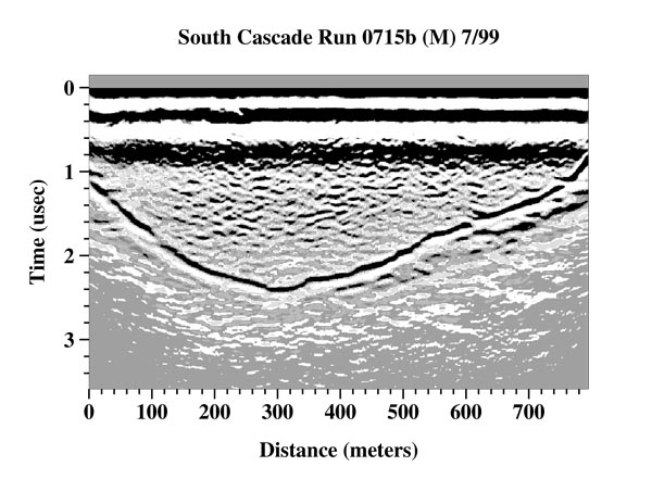
Trials of the radar system improvements in each year have been carried out in conjunction with ongoing work on South Cascade in collaboration with the USGS to map the bedrock and radar brightness as an indication of the presence of water. In the early 1990's we conducted profiles in the upper basin of South Cascade to complete the mapping project. In 1994 we used the radar to make a detailed map of the bed as part of the site selection process for a core to bedrock drilled by the USGS. At this point, the radar data have been processed and we have produced maps of ice thickness and bed topography for the entire glacier.
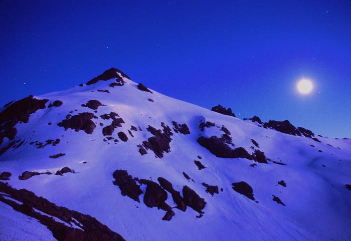
Photos and Maps

![]()
![]()