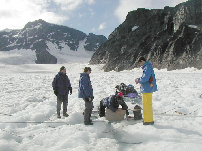
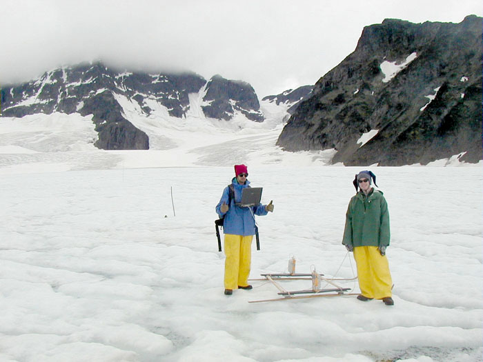
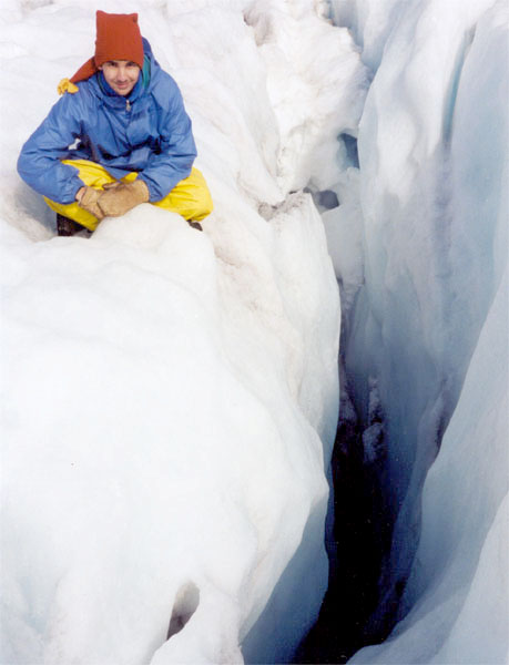
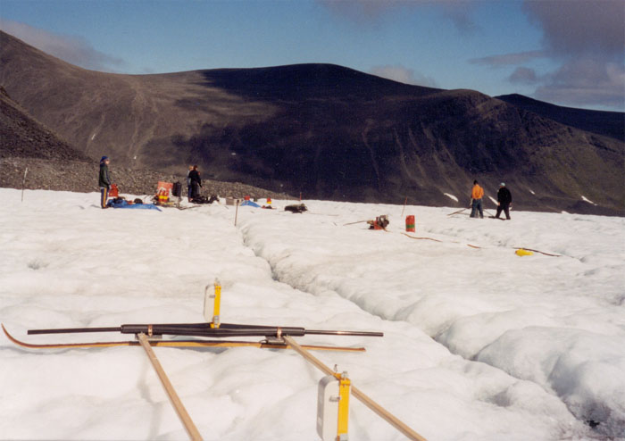
One of our previous projects is a hydrologic study of Storglaciären Glacier in collaboration with colleagues from Portland State University and the University of Stockholm. Storglaciären is located in the Kebnekaise Massif region, the highest mountains in Sweden, and is a polythermal glacier with a cold surface layer overlying temperate ice at the pressure melting point. It has the longest-running mass balance record of any glacier in the world and is perhaps the best studied. Water produced by surface snow melt during the summer penetrates the cold ice layer and makes its way to the bed, providing lubrication that controls ice motion. However, the process is poorly understood. The goals of this project were to understand the processes whereby water is delivered from the ice surface through englacial conduits and channels to the bed. To conduct our studies, used bore-hole video and a high-frequency ground-penetrating radar that depicts englacial water as bright regions of high echo strength. The radar is used to survey the ice and to locate candidate features for drilling. Boreholes are then drilled to examine the feature using a variety of down hole tools, including bore-hole video.
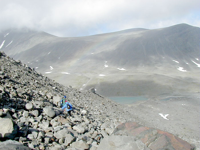
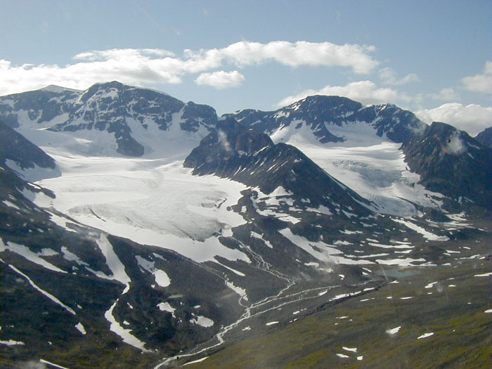
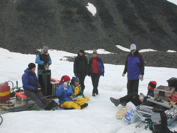
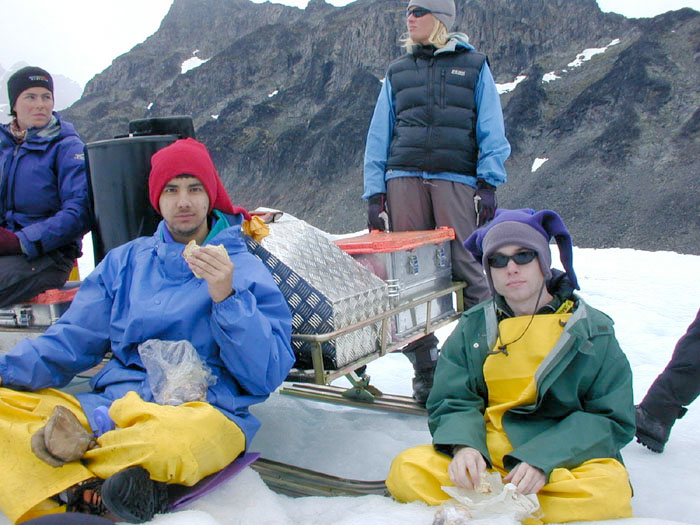
Photos from the Field


Maps 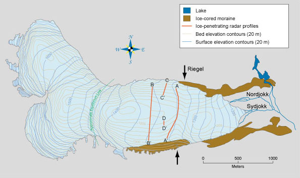
Article in Nature with results from the field: http://www.stolaf.edu/other/cegsic/storg/Nature_w_cover.pdf
Radar Photos:
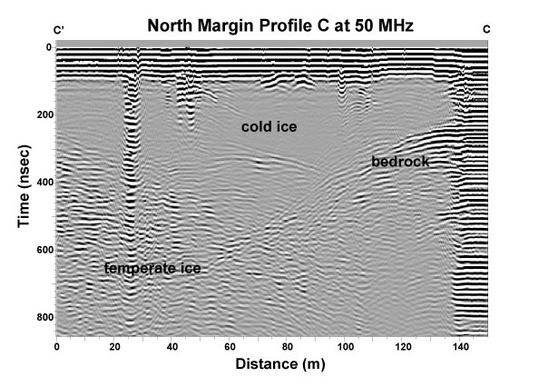
This figure shows a migrated section of the radar profile C-C' at 50 MHz traversing the bore hole site and extending toward the north glacier margin at the right. The boundary between the cold surface ice (largely without echoes) and warmer temperate ice below slopes downward toward the right as the cold ice layer thickens toward the margin. The bedrock echo clearly present in the cold ice at the right of the figure slopes downward to the left and disappears into echoes from within the deeper temperate ice zone. Energy at this frequency is scattered from water bodies within the temperate zone and as a result the bedrock echo becomes obscured. Echoes starting at the surface toward the left side of the profile in two locations are from drilling equipment and a cable down one of the bore holes. Another at ~110 m is due to a water-filled crevasse, and a surface slush layer produces copious ringing at the right. A series of bore holes were drilled at this location, several of which connected to an englacial water system above the bed. However, none of these connections could be unambiguously identified with echoes in the radar surveys.
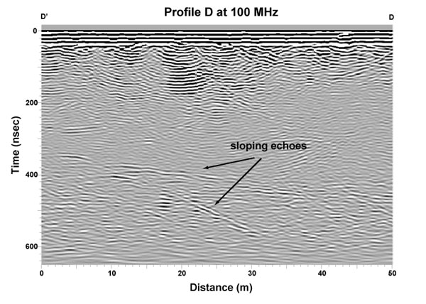
This figure shows a migrated section of profile D-D' at 100 MHz, part of a grid survey from a region near the valley center line. Ringing in the upper portion of the record is produced by the copious amounts of water at the surface. Beneath this is a zone of relatively cold echo-free ice ending at about 30 meters depth. Within the warmer ice below are returns from two sloping echo sources, one extending nearly the full width of the profile and the other dipping more steeply. Both of these sloping echoes are present in adjacent profiles parallel and perpendicular to the one shown, and thus an approximate orientation for the source could be inferred in three dimensions.
To analyze data in the field and coordinate efforts with the drilling program, we developed software to view adjacent profiles in these grids as sequential frames in a 'movie,' enabling us to simulate a three-dimensional view of the ice. Locations with echoes suggestive of linear englacial features were further surveyed to provide coordinates for the drill team. Drilling at this particular location intersected an air-filled cavity that was subsequently investigated with bore-hole video. Related Websites:
Dr. Andrew Fountain Dr. Peter Jansson Contact Information: Dr. Robert W. Jacobel St. Olaf Undergraduate Researchers: Robert Engle - RadarSat and LandSat image analysis
|