- Project Summary
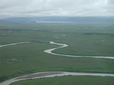
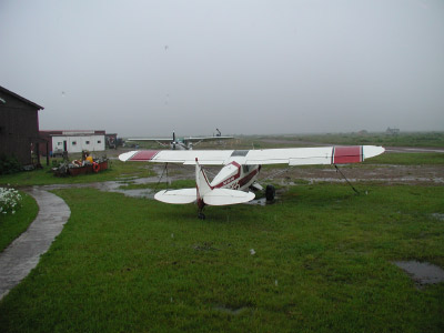
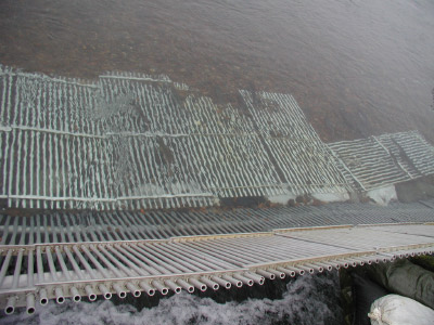
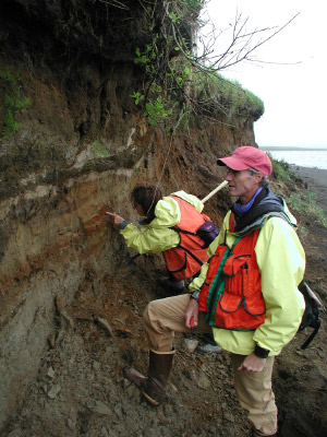
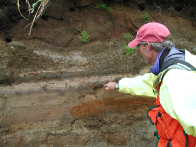
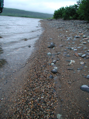
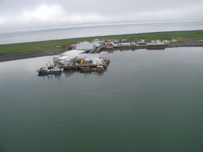
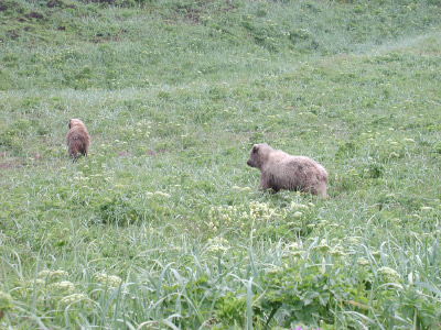
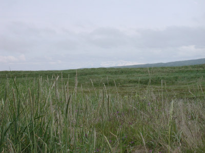
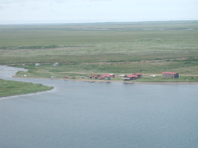
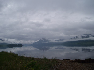
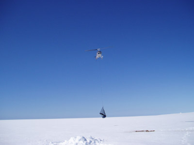
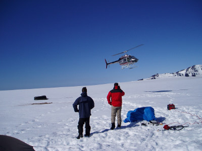
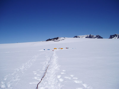
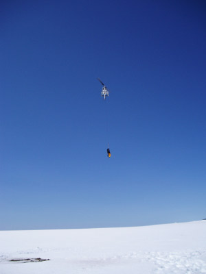
- Photos
- Results
- Related Links
- Contact Information
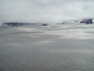
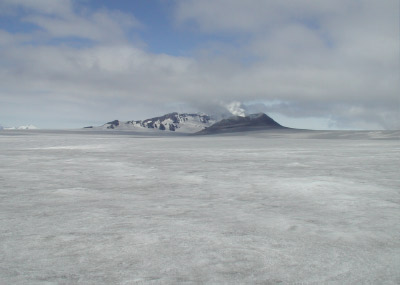
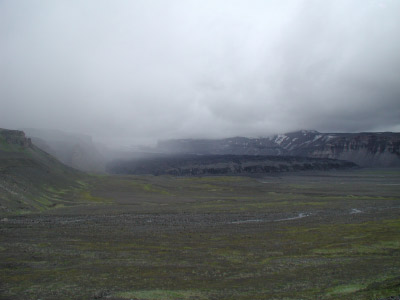
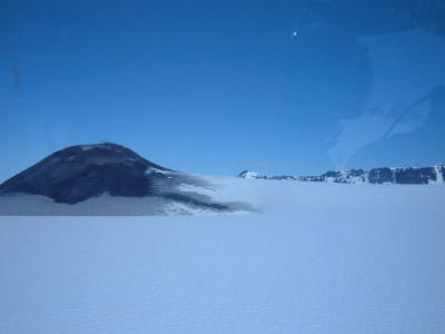
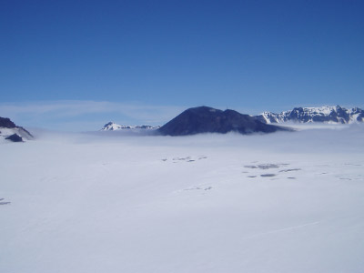
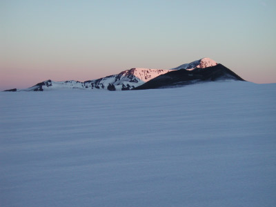
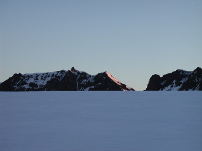
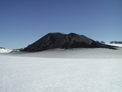
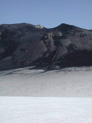
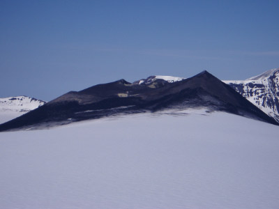
Radio Echo Sounding on Mt. Veniaminof, Alaska
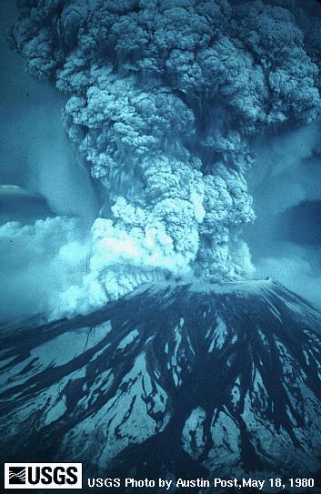
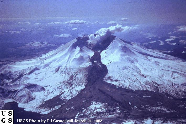
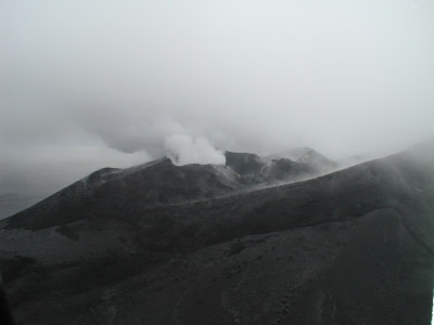
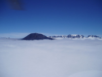
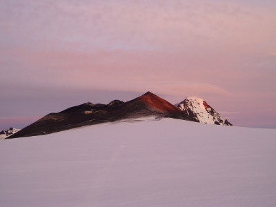
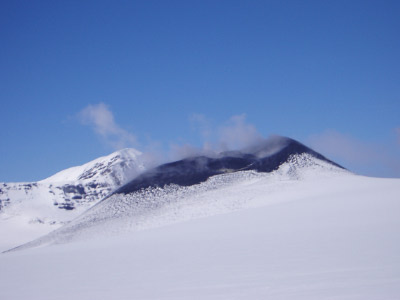
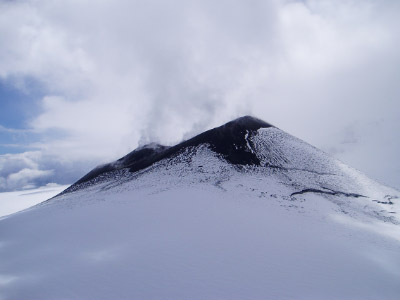
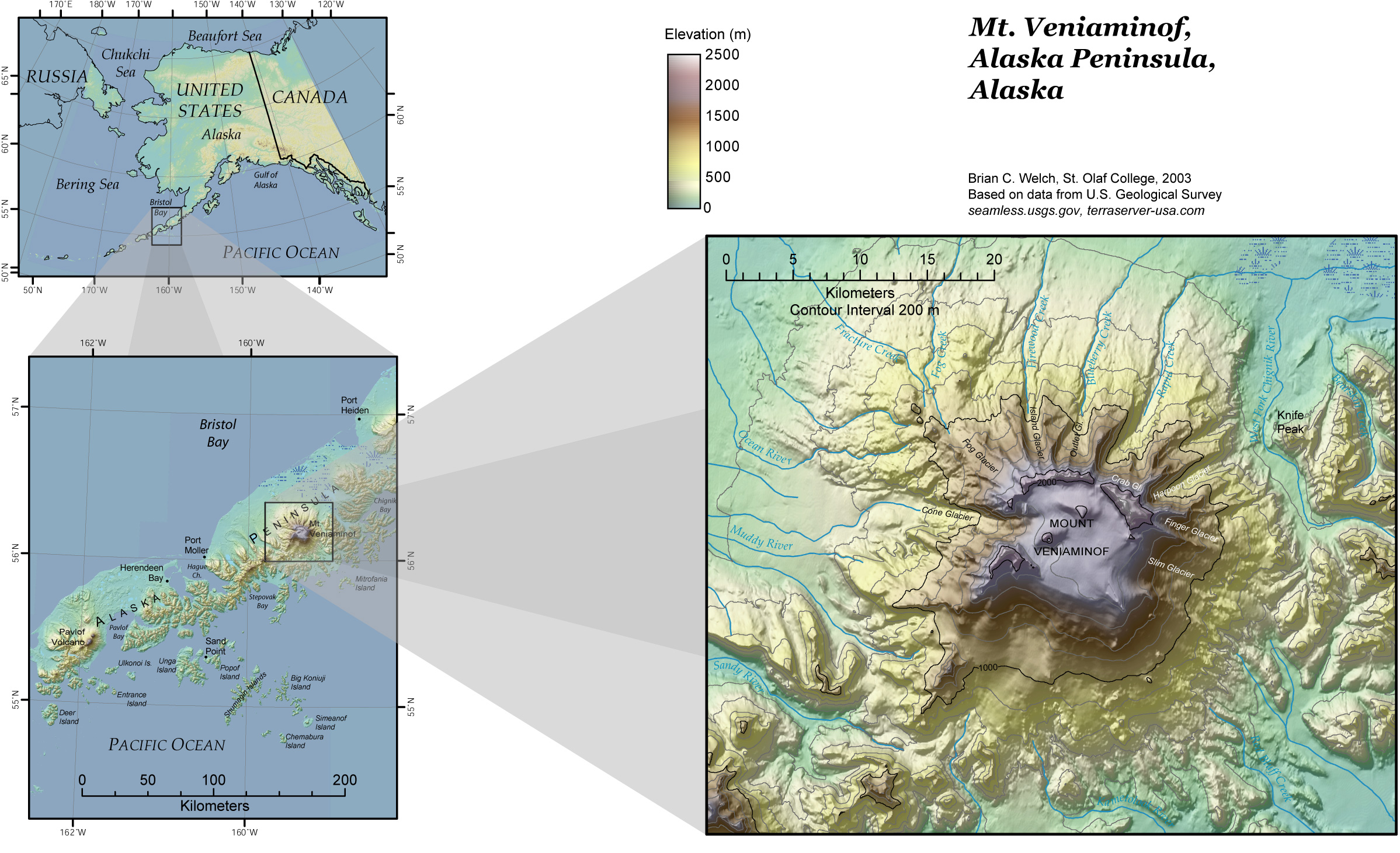
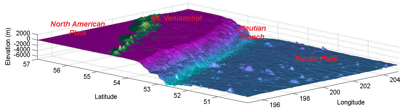
We are collaborating with the Alaska Volcano Observatory of the U.S. Geological Observatory to assist in their efforts to describe the hazards of an active volcano on the Alaska Peninsula. Mt. Veniaminof is a massive stratovolcano related to the subduction of the Pacific plate beneath the North American plate along the Aleutian Trench. While the last major eruption of the volcano occurred about 3400 years ago, there have been numerous small ash, steam, and lava eruptions from a cinder cone within the caldera.
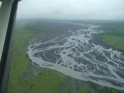
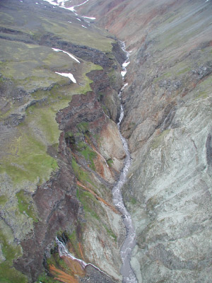
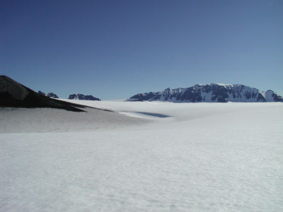
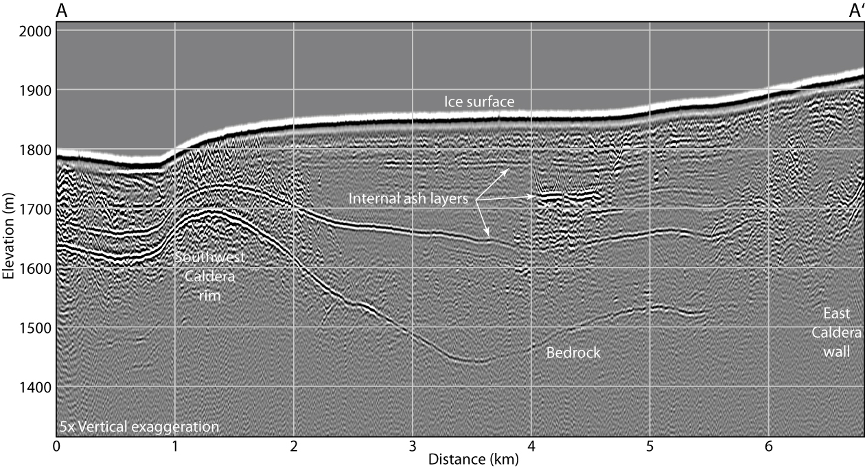
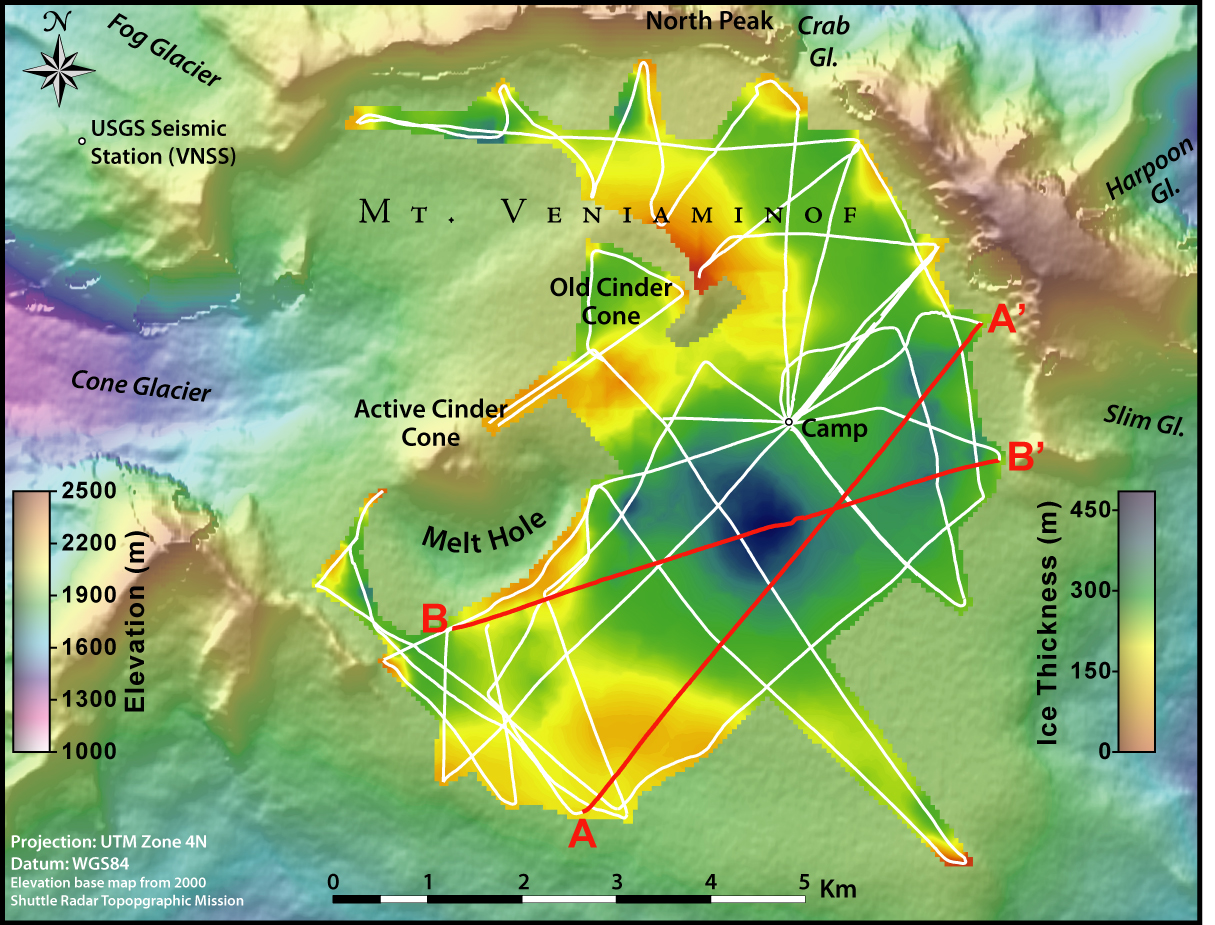
Our goal is to conduct a radio-echo sounding survey to estimate the volume of ice within the caldera and characterize the geometry of the primary outlet glaciers exiting the caldera. These data are necessary to estimate the risk of lahars, debris flows of hot ash, mud and melted snow that can occur during the eruption of a glacier-covered volcano. We also aniticipate that our radar system may image past volcanic events by detecting layers of ash deposited on the surface of the ice field during eruptions of the cinder cone.
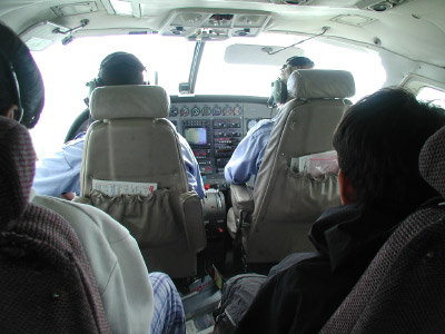
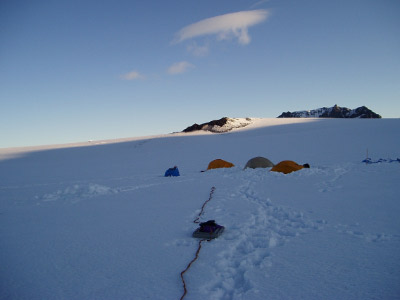
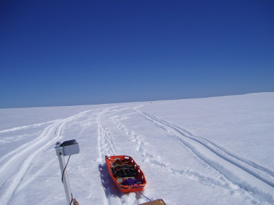
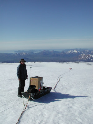
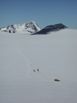
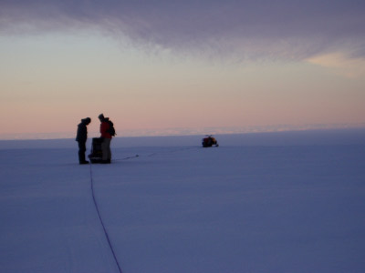
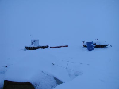
We conducted a reconnaisance trip in July 2004, and a complete radar survey of the caldera in early July, 2005. We use a light-weight low-frequency radar system developed at St. Olaf College. The battery-operated system has very low system noise characteristics and operates with a number of dipole antenna configurations at a center frequency of 5 MHz. The system was towed by snow machine to help cover as much ground as possible within the 10 km diameter caldera ice field.
Location information was collected using two consumer-grade WAAS-compatible GPS units for a final position resolution of approximately 2-3 meters. Elevation control was obtained by using the GPS-based altimeters with one unit acting as a base-station to record weather-related barometric changes. Subtracting the base-station altimeter correction from the rover data produced an ice surface map that agrees well with the SRTM topographic data sets.
Photos and summaries of our findings are available through the other tabs on this website.
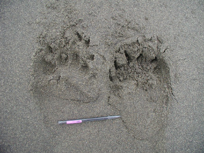
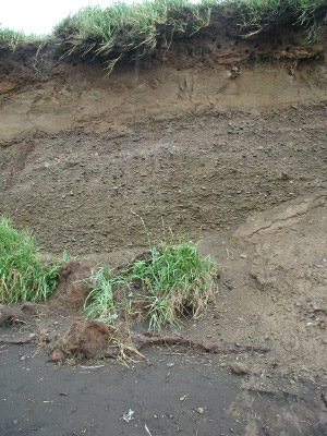
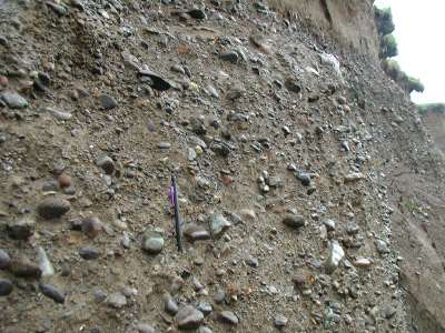
Examples of Volcanic Activity
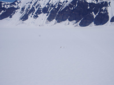
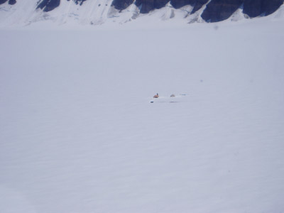
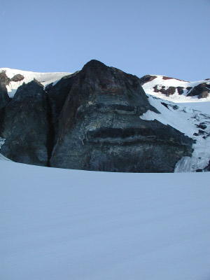
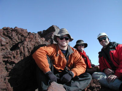
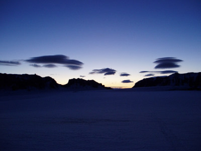
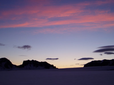
2004 Field Season


![]()
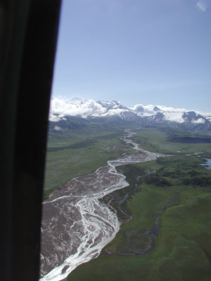
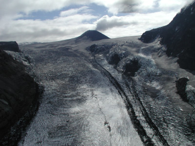
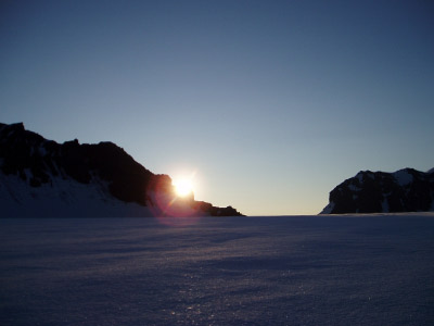
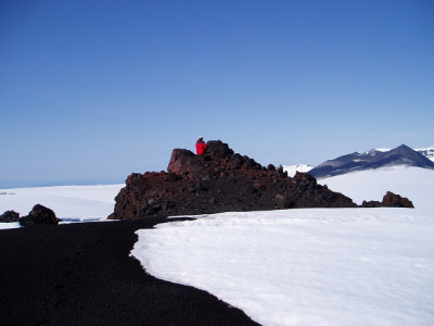
2005 Field Season
Maps And Figures

Websites related to our research on Mt. Veniaminof, Alaska.
-Alaska State Geological and Geophysical Surveys
-University of Alaska, Fairbanks - Geophysical Institute
-Mt. Veniaminof Information - Maps, Geology, Historical Activity, Photos, etc.
--Mt. Veniaminof Website - current volcanic activity and link to webcam located in Perryville, AK
-Seamless Data Distribution System - download GIS data for the U.S.
-Volcano Hazards Program - U.S. Geological Survey
Direct questions about CEGSIC & St. Olaf ice radar to: |
Direct questions about volcano research to: |
||
Dr.
Robert W. Jacobel, CEGSIC Director & US-ITASE Principal Investigator Dr.
Brian C. Welch, Field Leader |
Dr.
Chris Waythomas, Alaska Volcano Observatory, U.S. Geological Survey email: chris@usgs.gov Office: (907) 786-7122 |
||
| |
|||
|
Mailing Address:
Center for Geophysical Studies of Ice & Climate |
|||
| |
|||
|
St. Olaf College undergraduate researchers: |
|||