The contrast between the landscape that Nicollet described and mapped in 1838 and the landscape that we represent in photographs reveals physical and cultural transformations in the Undine region. This juxtaposition may also help us understand the conventions of our methods of representation, the characteristics of the cultural filters through which we see. Landscape is a construction of the mind, imagination, and conventions of the artist or mapmaker. It is a mixture of elements observed, invented and abstracted from the visible world.
 |
 |
 |
 |
 |
 |
 |
 |
 |
The photographers were responsible for making images that reveal the changes in the landscape since 1838. They also designed and constructed the web site to effectively disseminate the images and information gathered by all of the researchers.
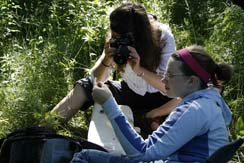
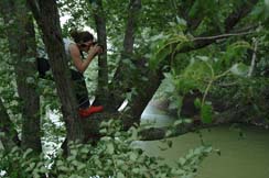
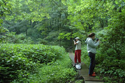
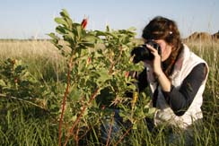
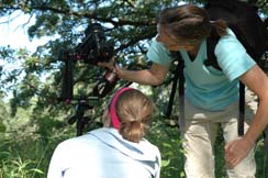
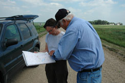
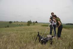
Sites were located along Nicollet's 1838 expedition route by comparing Nicollet's sketch maps to historical play maps, topographical maps, road maps, maps of lakes and rivers, aerial photographs and satellite images. Digital photographs of various locations were made and documented with GPS. They photographed lakes and river crossings, sites of encampments and astronomical observations, as well as plant life along the trail. Examples of historical maps and photographs were collected to be compared with their images and observations. Sites where water samples and sediment cores were collected were documented. The photographers were also responsible for making photographs of the research team at work and showing the methods used to gather data.
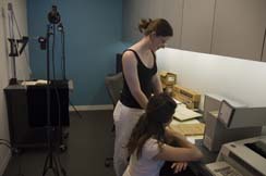
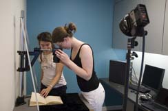
The photographers traveled to Washington D.C. to document the journals of Nicollet and Charles A. Geyer, the botanist who accompanied him. They worked at the Smithsonian Archive and the Library of Congress They also photographed members of the team working at the National Herbarium in the Smithsonian American Museum of Natural History.